
Remote Sensing for Geoscientists
Image Analysis and Integration
Vše od
Taylor & Francis Ltd
ISBN: 9781041020066
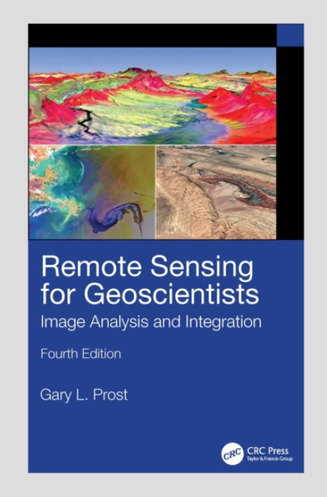
The new edition of the bestselling Remote Sensing for Geoscientists: Image Analysis and Integration expands the scope of remote sensing to cover image systems that did not exist 10 years ago when the third edition was published. It is thoroughly updated and provides examples of new capabilities...
5 781 Kč
- 1 - 2 ks
- 5 781 Kč
- 3 - 10 ks
- 5 724 Kč
- 11 a více ks
- 5 668 Kč
Předpoklad doručení do 13. července *
* Termín expedice je odhadovaný a může se mírně upravit podle termínu dodání od našeho dodavatele. Pokud by došlo ke změně, vždy vás budeme včas informovat.
Nepřehlédněte od Taylor & Francis Ltd ↓


5 781 Kč
Více o produktu ↓
The new edition of the bestselling Remote Sensing for Geoscientists: Image Analysis and Integration expands the scope of remote sensing to cover image systems that did not exist 10 years ago when the third edition was published. It is thoroughly updated and provides examples of new capabilities using Google Earth© and various apps.
- Výrobce
- Taylor & Francis Ltd
- Jazyk
- United Kingdom
- Autor
- Prost, Gary L.
- Rozměry
- 254 x 178
- Rok vydání
- 2025
- Počet stran
- 666
- Obsah
- Hardback
- Hmotnost
- 1440
- Počet stran
- 666 pages, 20 Tables, black and white; 63 Line drawings, color; 121 Line drawings, black and white;
Zanechte své hodnocení
Budeme rádi, když se podělíte o svou zkušenost s Remote Sensing for Geoscientists a pomůžete tak ostatním zákazníkům při výběru.
Navíc každý měsíc losujeme jednoho z těch, kteří nám zanechali recenzi, a obdarujeme ho kuponem na nákup v hodnotě 500 Kč. Možná právě Vy budete tím šťastným – držíme palce!